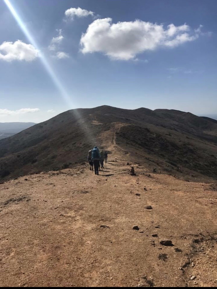
Halloween costume hike (2017) on my favorite trail in Laguna Beach.
As hikers, backpackers, and outdoor enthusiasts we have all heard of the Ten Essentials list. For those who are new to the outdoors and have never heard of this list, then you have come to the right place. The Ten Essentials was first developed by The Mountaineers, and is used to answer two basic questions 1) Can you respond positively to an accident or emergency? 2) Can you safely spend a night, or more, outside? This essential list is included in almost every hiking event description and it’s almost impossible to be out on the trails without overhearing someone talk about their favorite backpacking food, the tastiest electrolytes, or their newest headlamp purchase. However, nobody really goes into depth about the “why, what, when, and where” of the Ten Essentials, it is frankly just a simple list with barely any description. I mean “repair kit and tools”, really? What does this even mean? Don’t even get me started on the vague term “first-aid supplies” (the physician in me, HATES how this is frankly listed with no clear cut description of the specific first aid supplies that should be included in a backpack and why).
Don’t get me wrong, I carry the Ten Essentials on every hike however I searched and searched for the best-recommended safety items and outdoor gear to include on this list and I always ask myself, "do I know how to use this"? and "why do I need this"? If I do not know the answer to these questions, I better go find them...before my next adventure. In other words, it is crucial that you know the "why" and the "how to" of the gear in your Ten Essentials kit, otherwise this precious (and expensive) gear is not of much use.
For those of you who are just as confused as I was when I first read the Ten Essentials list, this blog series may be your new jam. Over the next several weeks I will be writing about each one of the Ten Essentials in detail, from a female perspective because as women, we all need to not only be safe on the trails but also feel and look beautiful in the wild.

The cutest navigation guide on the trail, Moo. She is my favorite hiking companion and has the nose of a Bloodhound. On our way to the summit of Mt. Baldy in blistering, cold conditions.
Essential #1: Navigation (map and compass)
If you are like me, you probably get lost all the time; I swear males are SO much better at directions than us females. I can get lost in a parking garage any time of day, put me in a box and I will most likely have to use Google Maps to get out. True story, I was actually taking my advanced open water scuba diving course in the Andaman Islands off of India and part of the course was navigation (I was doomed before we got in the water). I had to use a compass and swim in the shape of a square at about 70 feet under water for a certain amount of distance and then find the boat. After that “lesson”, I promised my dive instructor I would carry a dive computer at all times (my excuse is deep water can make your brain foggy, which it can).
Moral of the story is, we all need some form of navigation when we are on the trail, even if we know the trail well, are only going out for an hour or whatever other excuse we often tell ourselves. For those of us gals who have gotten lost on the trails (or in my case underwater), we quickly live and learn and then find the best navigation system around. First thing is first; please go buy a compass that attaches to your daypack. This is the one I use. (It’s also a whistle and a thermometer).
I am old fashioned; I grew up with paper maps, a Thomas Guide, and a compass (learn to use a compass or read a topography map here); so I prefer paper trail maps (which are becoming harder and harder to find these days). A paper map and a compass are always necessary because your electronic device may die (due to either extreme weather or low battery power) or may break. However times have changed and regardless of your opinion of smart devices, they are fantastic and they are here to stay so let’s embrace their amazing technology! An important tip if using an electronic navigation device is to bring a backup battery pack. Below are some great navigation apps and devices that are out on the market today.
Top six best apps for the outdoors
Gaia GPS (iPhone/Android, $19.99)
If you love to draw and create maps, Gaia is the app for you. This one-time paid subscription lets you download as many maps as you want, create your own maps, read reviews from other users, and switch between satellite, USGS topo maps, cycling and road maps, National Park visitor maps, even century-old topography maps. You can download maps before you head out into the backcountry so you do not need cell service once you have downloaded a map. Other GPS apps with similar capabilities typically charge a recurring fee for this kind of mapping nirvana.
AllTrails (iPhone/ Android, free or $30/year upgraded subscription)
With 50,000 trail guides in North America alone, it is not too difficult to figure out why the AllTrails app has more than 1.5 million users. It’s an easy way to find trails near you, create your own trails with GPS tracking, share your trails and photos with others, and download and print maps (with the upgraded pro version). In my opinion, you really need to pay the $30/year subscription to receive the benefits that AllTrails offers. This is user-friendly (a bit more so than Gaia), app is similar to Gaia in that you can download maps before you hit the trail in case you are venturing into areas without cell service.
MapMyRun/Hike/Cycle (iPhone/Android, free or $6/month upgraded subscription)
This app tracks your run, hike or cycle (depending on the version) and also provides you with a detailed summary of your route, average pace, split miles, distance covered and calories burned. It is geared towards workouts however it can be ideal for anyone who is looking to record hiking routes and share them with friends. The paid version allows you to keep tabs on your hiking pals in real time and provides heart rate analysis, audio coaching, and route recommendations. I personally think the free version works just fine. This and their competitor app, Strava (which basically does the exact same thing), can only be used when cell service is available.
Admit it: You’re not going to be impressing dates with your botany skills anytime soon. Luckily, you have access to the plant experts of Columbia University, the University of Maryland and the Smithsonian to do the brainwork for you. Just snap a photo of the mystery leaf, and the app will and spit out a handful of facts to impress your mate on the trail. You will need cell service to do it live, otherwise save the photo and identify it when you get home.
SkyView (iPhone/Android, $1.99)
You can finally stop arguing with your husband about whether that is the North Star, a satellite or Orion’s Belt because now you can Just point your phone at any star or object in the night’s sky to find out exactly what it is, or search out planets, satellites or entire constellations. You can even see where certain stars will be at any given time, making it an invaluable resource if you are trying to photograph the night sky.
PeakFinder (iPhone, Android $4.99)
Is that Mt. Baldy? Where is San Gorgonio? What about Mt. Reiner? Let’s just stop this guessing game because PeakFinder can give you a sketch of the surrounding terrain with all the visible summits labeled, making it easy to sort out what you’re looking at.
We always ask ourselves the dreaded question, “will we have cell phone service”? Many of us love to unplug from reality but sometimes it is nice to be able to make an emergency phone call or download a map while in the backcountry. So instead of playing the guessing game of whether or not there will be cell signal at your destination, Cairn uses all the phones in its network to compile data on exactly where you can expect to find cell service during your outdoor adventure. Before you start out, set an emergency contact, load in the outdoor adventure you’re taking and enter an expected return time, the app will automatically alert your contact if you don’t return in that window. Has disaster struck? Look for the colored dots on the map to see where you might be able to squeeze off an emergency call.
Top four smart electronic navigation devices
Smart navigation devices are designed to make your life easier by allowing you to download all the above navigation apps, track your distance, provide a compass and some devices even measure the altitude and speed of your downhill routes, play music from your favorite stations, and even track your Excess Post-exercise Oxygen Consumption (EPOC). There is so much info out there that this can be a separate blog in itself, but I wanted to provide you a short list. I personally, still use my old trusty iPhone but I have my eye on the Garmin Fenix 5 X Sapphire (hint hint).
Smart phone such as iPhone or Android.
Suunto Spartan Sport Wrist HR Baro
Garmin Forerunner 735XT Heart Rate Monitor Watch
Top resources for the most accurate paper trail maps
Paper trail maps are my jam. I spend hours scouring REI and awesome hiking blogs for paper trail maps. It is possible to download and print out trail maps from some of the apps I listed above and sometimes you may even score and find a free downloadable trail map on a well-written outdoor blog. However for bigger trips and more isolated destinations (these are realllly my jam) it is important to have the best paper trail maps on the market. Remember to put your paper map in a zip lock plastic bag to protect it from the outdoor elements (and the liquid and sticky stuff you keep in your pack).
National Geographic Trail maps
What are some of your favorite navigation apps, smart devices or paper trail maps? We would love to hear from you! For more information on navigation, visit an REI near you and enroll in their navigational skills course.
Thanks so much for reading and see you on the trails,
xx
Kristen